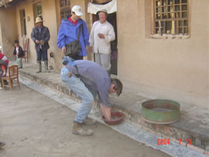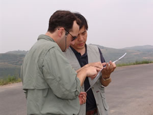
 in the field in China |
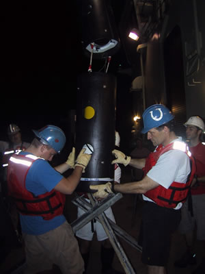
 on shipboard |
 in the field in China |
Research
We will explore the cause of earthquakes in North China using the following approach:
- Image crustal and upper mantle structure using seismological methods;
- Measure crustal deformation using space geodesy and neotectonic methods;
- Reconstruct earthquake histories using paleoseismic methods;
- Model earthquakes via computer simulations.
Seismology
We will create a three-dimensional model of the entire North China lithosphere using ambient seismic noise. This new technique is able to image earth structure in much higher resolution than conventional methods. We will combine this method with body wave data to further refine the lithospheric structure of the North China plain that will allow spatial correlation of seismicity with active fault zones and specific lithospheric structures. To explore the control of earthquake clustering in the Shanxi rift and apparent earthquake migration to the North China Plain, we will jointly invert active-source (man made) and passive-source (earthquake) data to produce high-resolution models of the Shanxi rift and the Tangshan fault zones.
Space-Geodesy
We will use Global Positioning System (GPS) and Interferometric Synthetic Aperture Radar (InSAR) to study present-day crustal motion and deformation in North China. We will use the existing GPS data from the Chinese GPS network, and work with Chinese colleagues to deploy local GPS networks across the northern Shanxi rift and the Tangshan fault zone. InSAR complements GPS by providing area mapping of surface deformation. Because the anticipated deformation rates are small, we plan to use Interferometric Point Target Analysis (IPTA) to improve the results.
Paleoseismology
We will reconstruct Holocene earthquake history through excavation of trenches along the northern Shanxi Rift and the Tangshan fault, and determine long-term slip rates (over thousands to tens of thousands of years) by detailed mapping and measurement of faulted landforms in the vicinity of the Shanxi and Tangshan fault zones. The southern part of the Tangshan fault zone extends into the Bohai Bay, providing an ideal site for underwater paleoseismic studies. We will use a high resolution seismic profiler ("chirp") to image cumulative vertical slip and horizontal offsets of marine sediments and paleo-stream channels by earthquake-related faulting events.
Geodynamics
We will integrate the results of earth structure and crustal deformation in a suite of geodynamic models to explore the cause of earthquakes in North China and the controlling factors for their spatiotemporal clustering and migration.
MU is an equal opportunity/access/affirmative action/pro-disabled and veteran employer and does not discriminate on the basis of sex in our education programs or activities, pursuant to Title IX and 34 CFR Part 106. For more information, visit MU's Nondiscrimination Policy or the Office of Institutional Equity.
© - Curators of the University of Missouri. All rights reserved. DMCA and other copyright information. Privacy policy
Published by Digital Service | Contact Web Group |